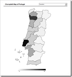
Amendment #5 to Choropleth Maps with Excel: a Map Template for the United States by Counties
 In a comment on Multicolored Choropleth Maps with Excel Dave Hammer wrote
“… I'm doing some mapping right now by County and Congressional District. Some folks at Wikipedia have supplied some excellent .svg maps with proper labels […] but I'm hitting a roadblock with Excel. […] They're easily imported into Excel as an enhanced metafile and then ‘ungrouped’ to create an excellent map – but all the data associated with the shapes is lost during this process. […]”
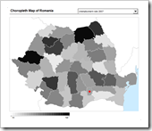
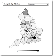
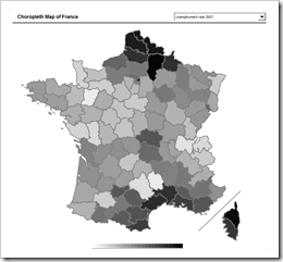
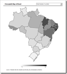
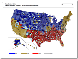
Actually there is a way of converting .svg files (scalable vector graphics) into Microsoft Excel without losing the data associated to the shapes. The next post will describe a detailed how-to tutorial, but I thought you might be interested to see the results in a sneak preview. This post offers free downloads of choropleth maps of the United States by county, in the classic and the multicolored version.
